
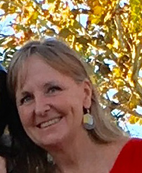
 Kathleen Gibbons ha estado fascinada con la geografía desde su adultez temprana. Le gustaba el amplio alcance de la materia y la gran variedad de temas que podía investigar. Después de terminar la universidad, Kathleen trabajó para el Inventario Nacional de Humedales durante 10 años, lo que le permitió familiarizarse con la cartografía informática a través de un sistema de información geográfica (SIG). El SIG es un marco para recopilar, gestionar y analizar datos. Está basado en la computadora y permite reconocer la organización espacial del planeta y ver el orden en lo que parecen ser dispersiones aleatorias de personas, lugares y factores ambientales. El SIG ayuda a los investigadores a tomar decisiones razonables sobre temas que involucran relaciones entre el entorno físico y la sociedad, como el aumento del nivel del mar.
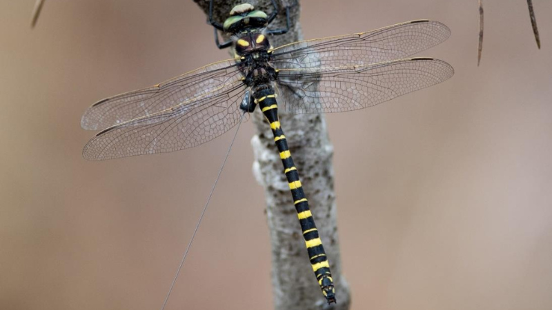
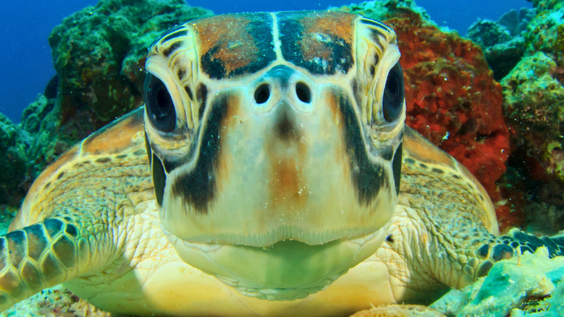
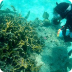
En el FWRI, Kathleen dirige un equipo que utiliza SIG para explorar cuestiones ambientales como la desorientación de las tortugas marinas. Las tortugas utilizan el horizonte de luz natural para encontrar el océano, pero a veces las luces las distraen y las desorientan. El equipo utiliza la última tecnología SIG para capturar información sobre las tortugas que anidan y crían y se han desorientado de esta manera. El uso de la tecnología SIG ha permitido a los investigadores analizar los datos de una temporada en tiempo real. En el pasado, estos datos no eran fácilmente accesibles hasta que terminaba la temporada de anidación. Ahora, con la ayuda de los SIG, el FWC puede intervenir cuando ocurren eventos de desorientación de tortugas.
Kathleen también ha colaborado con la Red de Observación de la Biodiversidad Marina (MBON, por sus siglas en inglés). La MBON es parte de una red mundial de biodiversidad que recopila datos biológicos y monitorea la biodiversidad marina de las aguas costeras y de la plataforma continental del país. La MBON está interesada en todos los niveles de diversidad de una región. El nivel inferior incluye los tipos de hábitat dentro de una región; el nivel medio incluye la diversidad de especies; y el nivel superior incluye la diversidad genética dentro de las especies. El equipo de Kathleen combinó todas las capas de datos SIG para el Santuario Marino Nacional de los Cayos de Florida. Luego, los datos se juntaron en un sitio web para que se pudieran visualizar mejor. El personal también construyó un modelo de distribución de especies para el Santuario utilizando Ecopath. Ecopath se está utilizando para crear una red alimentaria y responder a preguntas complejas de gestión. Por ejemplo, Ecopath se puede utilizar para determinar mejor los efectos de la pesca en el ecosistema, el impacto y la ubicación de las áreas marinas protegidas y los efectos del cambio ambiental.
A Kathleen le encantan los distintos proyectos en los que trabaja y la constante evolución del software y las herramientas. También disfruta de la creatividad que permite el trabajo con SIG y de la capacidad de mostrar a la gente sus investigaciones de nuevas maneras.
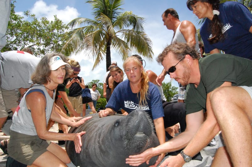
Investigadores como Kathleen y su equipo trabajan para proteger el hermoso paisaje de Florida y la vida silvestre que lo habita. Para apoyar su trabajo, haga una donación aquí.