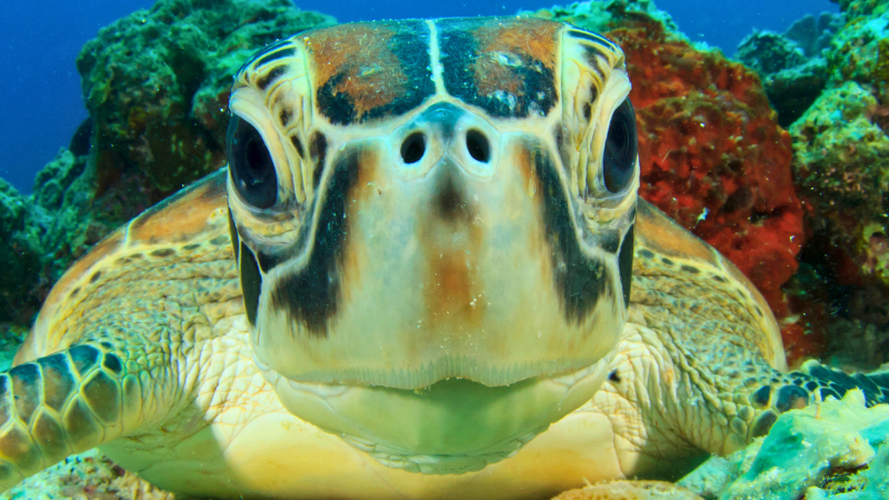


Each spring through summer, Florida’s beaches come alive in a quiet, ancient ritual. Under the cover of darkness, sea turtles emerge from the ocean to lay their eggs in the sand, just as they have for millions of years. Today, this natural wonder is carefully protected. But it wasn’t always